
What I Learned in School Today

Today was the third session of the class I took about the Disappearing Island of the Chesapeake Bay, and I want to tell you a little about it.
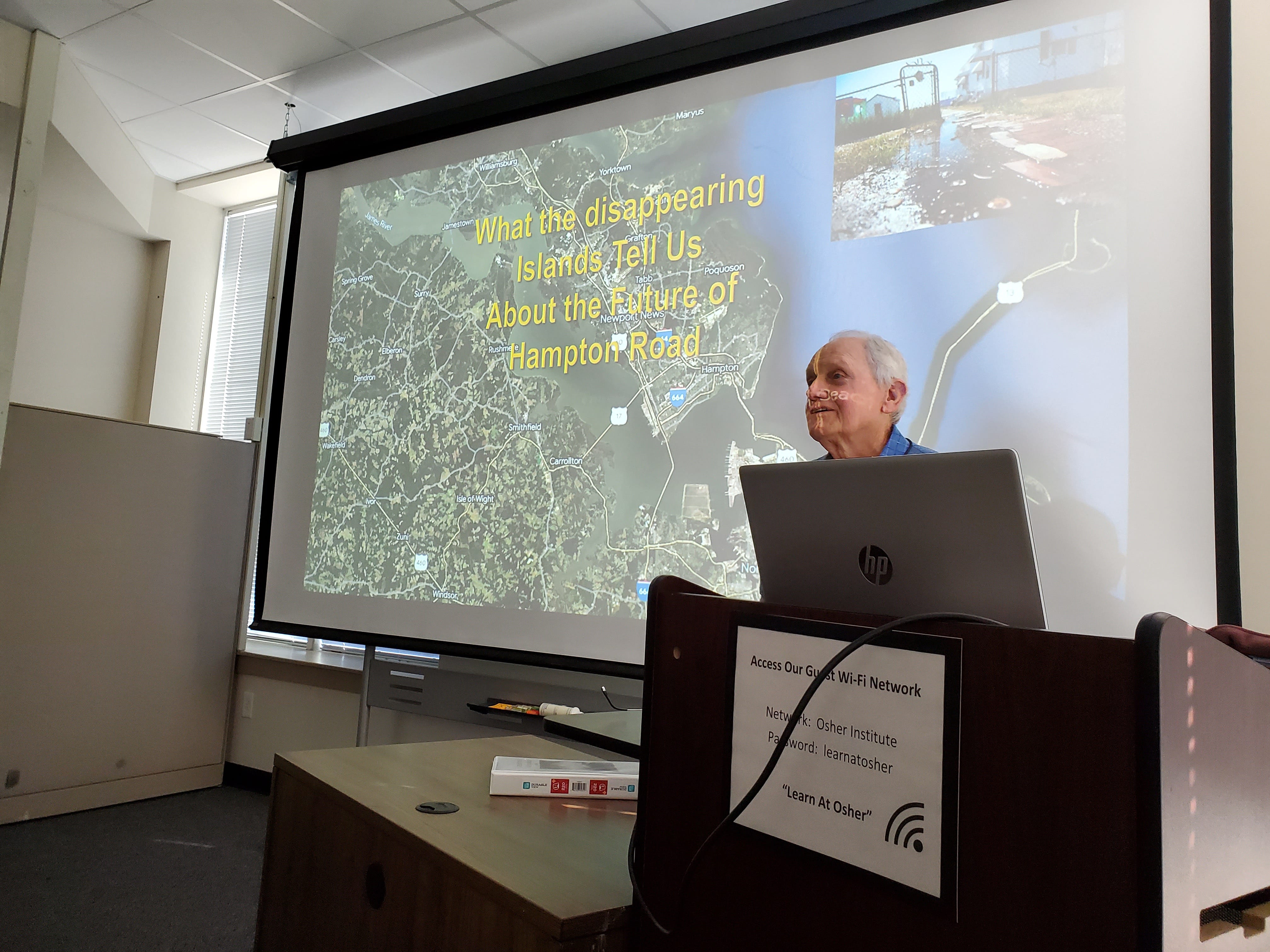
First, let me tell you about the instructor, Jim Griffin. Here’s his bio from the Osher Catalog:
Jim Griffin holds a Ph.D. in environmental science from the Florida Institute of Technology; an M.S. in systems technology from the Naval Postgraduate School in Monterey, CA; and was an environmental scientist for local and state agencies in Florida. He also taught GIS applications at the University of South Florida, as well as Florida watersheds and water resources courses at USF’s Osher program.
So he knows what he’s talking about, and this class proved it. The first session focused on the geological and human history of the Chesapeake Bay. The second session focused on some of the disappearing (and “disappeared”) islands in the Bay and its tributaries. Today Jim focused on efforts to counter or mitigate the problems very specific to our region of southeastern Virginia – bordering on the Bay and the Atlantic between the York and James Rivers. His presentation was interesting and the discussion that ensued was also good.
Here are the references he used in today’s class. If this topic interests you, you’ll enjoy these sources.
Week 3, The Impact of Relative Sea Level Rise on the Virginia Eastern Shore and Hampton Roads.
Chesapeake Quarterly Volume 13 Number 2 & 3: Come High Water - Sea Level Rise and Chesapeake Bay
Chesapeake Quarterly Volume 13 Numbers 2 & 3: Armor, Adapt, or Avoid?
"The Increased Risk of Flooding in Hampton Roads: On the Roles of Sea L" by Tal Ezer (odu.edu)
Norfolk, Virginia | Virginia Institute of Marine Science (vims.edu)
Risk Management Strategies for Coastal Communities (army.mil)
I am smarter because I took this class. You’ll be smarter if you read some of these sources. Although we probably won’t be as smart as Jim.
Good for Jim! 😎